Friday, July 6, 2012

Strzlecki Track #1

The main aim of this trip was to fly over Lake Eyre. However, last year we drove up the Birdsville Track and in the back of my mind I  hoped that after the flight we may be able to drive up the Strzlecki Track this year. The Strzlecki Track (like the Birdsville Track) is a dirt road along the path of an old stock route. The Strzlecki has some bores still running but only remnants of civilization along its length, unlike the Birdsville, which is cut in two by the Mungerannie Hotel with fuel and water available. So 473Kms of dirt road, carry everything you need, no reception of Telstra 3G. Probably the most challenging drive that should be undertaken by a Maggie-type vehicle driven by people of our age.


Most of the early part of the track was pretty good.

The main problems lay in the washways and dips that you can't see into as you approach.

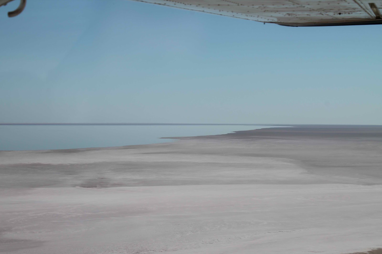
When you look south you can see the northern part of the Flinders Ranges. They seem a very long way away. The rainfall in this part of the country is very low and when you couple that with very poor soil the view is fairly bleak.

Driving was quite a challenge. The road varied from moderately smooth (for a dirt road) to a very rough, corrugated surface and back again repeatedly. The corrugations were about 10cms deep  and just far enough apart for the tyre to sink to the bottom before hitting the next one. When these patches were on a flat piece of terrain we could keep up enough speed to ride over the tops of the corrugations but when they occurred on a corner or in a dip, keeping up speed was very dangerous. Having slowed down, taking a bashing, we then had to speed up again to get on to of the bumps. After about 150 Kms we were all very tired and we stopped for the first night at the ruins of Blanchewater Station. Thought to be involved in brumby rustling in the 19C this station was, in its heyday, a very successful venture. A major flood in the 1960's destroyed the buildings which have never been rebuilt. We arrived at sunset and the sandstones looked stunning.

Bleak, unproductive land today.

The eastern sky at sunset is often beautiful.

We were all a bit tired the next morning so we decided to stay at the ruins for another day. I pretended I was a naturalist and went looking for flowers and birds. These are not flowers but brightly coloured leaves, but they made a good picture.

These are flowers, of course, but I can't find the book to identify them. I always was a very keen botanist.

This chap, a brown goshawk, did not like the look of me. I tried to get closer, leaving a clear path for him to fly away so that I could get a shot of him in the air. He fooled me and took the hard way out the back.


It was my turn to cook dinner and I rather surprised myself (as well as the others) with a casserole which I might call "beef cooked with red wine and mango ginger". Recipes are available for a small donation to the "save the goshawk" foundation.

Monday, July 2, 2012

Farina

In the 1880's when this region was first settled the state authorities decided that a town should be built to support the development of the pastoral leases. Surveys had been made and it was decided that this area would be suitable for wheat. The town was named Farina (from the latin word for flour). I kid you not.

Presumably this is why they now employ agricultural economists instead of latin scholars in the department of agriculture.

The town lasted over 100 years through flood and drought until the government stopped paying for it. Three generations lived there. It is all so sad.

The ruins attract a variety of birds.

Not all of the feathered variety.


The actual town site is still owned by the crown but the surrounding countrside is part of a large, private station utilizing dry-land farming techniques. The owner has set aside about 20 hectares of land near the creek within walking distance of the town ruins for freedom camping ($10 a night). It was so pleasant we stayed a few nights.


The Harveys had to move on and our friends from Tollington Avenue, Pete and Jan Bates joined us. So we stayed a few more nights. Jan surprised us by cooking a "Christmas in June at Farina" dinner.
We started outside


And then it started to rain so we went inside Maggie

It was quite a treat.

We are looking fairly well, I think. Here we are joined by Peter Bates
Soon we had to move down to Copley where there is a small caravan park to charge our batteries, fill our tanks, make phone calls and generally get ready for the next main hurdle in the trip - the Strezlecki Track. But before we go, just one more Quondong Pie at the Copley Bakery


Lake Eyre

Saturday 16 June was overcast and a storm threatened. We decided to wait until Sunday for the flight. Geoff unloaded the back seat of their car and took us 150Kms up the Birdsville Track to find Coopers Creek. There was much more water in small lakes by the roadside (due to local rain) but we knew that the track was no longer blocked by the Cooper. Lake Harry (about 10Kms across) was right up next to the Track.


Because the Cooper flood had dispersed we were able to walk around where the track used to go. It looked very green.


You can see the new part of the Track in the middle of the frame behind the small gum tree.

This is a recognised camping area in the "off" season and the kites love the rubbish people leave behind.


It took 3hrs of driving and about an hour exploring so we were "home" at the Maree caravan park quite late.Good excuse for a pub meal.

Sunday dawned clear and cool with a light wind. Feeling we had picked the weather very well we set off for the airfield (10 mins down the road) at the unholy hour of 7:30am.

Talk about small! The plane looked about the same size as the kites we saw yesterday.


The pilot took us over the Birdsville track to the Cooper so we saw again from the air what we had seen yesterday on the ground. It looked dry yesterday. From the air it looked caked. Dry sandy gravel stretched from horizon to horizon. Broken only by a dry creek bed and its attendant trees. The explorers looked for the lines of trees marking creek beds because they could usually find water there if they dug far enough.


The Cooper is interrupted by a natural causeway. The causeway blocks the river in dry times so above it, it is like a river, and below simply a series of billabongs and small puddles. The punt which ferried us across last year is situated above the causeway and remains in the river until it is needed whith the next flood.


Even when it is flooding, Coopers Creek only drains into smaller subsiduary lakes. It seldom reaches Lake Eyre. The smaller lakes simply start to disappear when the dry seasons approach

 We had heard "that it was no longer full", "that you need water to reflect the clouds", "that we should have come last year", and so on. But Lake Eyre was simply stunning> The salt is precipitating mixed with mud. When it is windy the salt and mud form amazing patters.

.


And here we are. Still grinning , thrilled to have seen what we had seen.

The tall bloke in the middle is Andy the pilot, our friends are Geoff and Shirley Harvey, but where did the garden gnome come from?

Sunday, June 24, 2012

Port Augusta to Marree

On Tuesday 12 June we set off for the North. We had arranged to meet some friends (Shirl and Geoff Harvey) who had been in the area for a few days. We planned to go to Marree with them and fly over the lake together. The rendezvous was the caravan park which is located on the highway just north of the town of Hawker. On the way there we had an SMS from them suggesting we have a look at the ruins of Kanyaka, a station homestead dating from the 19C.

It has rained heavily in this district this year and the growth must be rather like the scene that attracted the family in the first place. Now they are just sad scenes of lost dreams.


While we were in Hawker, after exploring the parts we remembered, Pete went into the diorama to see the extraordinary 360deg painting of Wilpena Pound while Mare looked for a chemist. She was sent on a "short" walk to the hospital (and I can tell you she won't forget her medication again soon) and was rescued by Geoff Harvey. For various reasons associated with the complex regulations surrounding prescriptions we had to go back and visit the hospital twice again and then wait until the items came up from Quorn.

Marree is a real "frontier town" from the wild west. I expected to see John Wayne any minute.

The two-storey building on the right is the pub.

Although it doesn't look like it, a storm blew up that night so we postponed our flight for a day. I will leave you in suspenders for the details of the flight in the next post. :)

Tuesday, June 12, 2012

Meningie to Port Augusta and places in between

Sorry folks. This will be a longer post than usual. We have had some adventures and were without contact for some time.

We set out from Meningie on a beautiful, cool but sunny Saturday morning the 2 June. We were heading for Port Wakefield on the eastern shore of St Vincent's Gulf a bit north of Adelaide. We went straight to Tailem Bend on the Princes Highway and then on to Murray Bridge. Maggie and I had by now come to terms with how smooth the day would be and so we started up the first of the hillclimbs over the southern Adelaide Hills in a relaxed and positive frame of mind. Suddenly a red light shone from the dashboard and a high pitched whistle broke our peace.  Now we all know that there are elements of Maggie's design that are rather quaint and old fashioned but the old girl has more sensors and alarms than any vehicle that I have driven before. This alarm was labelled "coolant". Sure enough, when I lifted the engine box cover there was a strong smell of antifreeze and green liquid was pouring onto the road. We filled the radiator with drinking water and coasted back down into Murray Bridge. We called into the first service station we saw.
 "Good morning", I smiled (it was the last smile for a good few days), "I have a leaking radiator, do you have a workshop?"
Blank look. "Nup".
"Ah, do you know where I might get some help?"
Incredulous look. "On Saturday?

Well, to cut a long story a bit shorter we parked Maggie in a caravan park and waited until Monday. Then our luck changed. There was one radiator specialist in Murray Bridge. After a lot of sucking air through his teeth and showing me how full his book was he agreed to start that afternoon and we got Maggie back late the next day. Too late to pack that night so another night in the donga. It was a bit better than the donga we used in Darwin all those years ago but not much. Tia DID NOT LIKE THE DONGA. Too well bred I suppose.

Once we got going again we sifted through the suburbs of Adelaide and finished up in the old fishing village of Port Wakefield
.
This is where the old fishing boats were pulled up on the shore. They have now built the caravan park with a great view. This was the scene from our bedroom window.

Next day we drove right down to the bottom of the Yorke Peninsula. (If you look at the map we were just where the tinea would be between the big toe and the bunion.) It was a long drive and the roads deteriorated the further south we went. But it was worth it. The southern tip is rugged sand dunes and scrub with lovely little bays. We camped there for the three nights of the long weekend.


We were a little surprised to see an extra rock appear.


A whale-rock!

Very close. Just off the rocks.

When the long weekend was over we moved up to Moonta Bay and had a good dinner at the pub which is the brightly lit building on the shore near the base of the pier.


Now we are parked at Port Augusta. I couldn't resist the scene so typical of this part of the world. Once again from our bedroom window.


Monday, June 4, 2012

Mount Gambier to Meningie

We did the tourist thing in Mount Gambier before we left. The day was a bit foggy early but after lunch the sun came out.
"Sink holes" form in limestone plains when the roof of an underground cave falls in. I expored a few of these in the Nullabor in 1961. Well, Mount Gambier has two of them in the city area. Both have been turned into sunken gardens. The biggest is the Umpherston Sinkhole (named after the family who were pastoralists there when the first attempts at gardening were tried). Photos show that in the late C19 the sinkhole formed a lake (the water table was very high then). By 1930's the floor had dried out and extensive gardening was possible.

The sinkhole is surrounded by delightful gardens featuring Australian native trees.


South Australian magpies have slightly different markings to the Victorian ones. This one is eyeing Tia (who is just out of the picture). Tia thought she could fool this bird by pretending not to notice her and to skip about nearby and THEN jump at her. Needless to say it didn't work and the magpie waited just long enough before slowly moving away. She has obviously met young city-bred dogs before.


We moved on to the Blue Lake, the stand-out attraction at Mount Gambier. The locals said we shouldn't expect it to be too blue at this time of the year but I don't think it was too bad.


That night was cold but the clear sky gave us a lovely travelling day the next day. We set out to drive to Tailem Bend (about 380 K) but decided to slip off to Meningie (still 345K for the day). Meningie is a small rural/holiday town on Lake Albert (which is attached to Lake Alexandrina - the last lake before the sea on the Murray River). Full of water and looking good.


There were some pelicans which kept us amused.

"OH goodness - I AM late home from the pub"


"Hello dear - I met this old chum who WOULDN'T let me get way"

("If I look very contrite maybe she'll let me back!")


"Ah yes! She's a good old stick!"